Gallery
Utilizing state-of-the-art drone technology for environmental monitoring and conservation research
Our advanced 1080p drone systems capture detailed aerial imagery for conservation research, environmental monitoring, and rapid response to ecological threats. Each mission contributes vital data to our partners in environmental protection.

Aerial surveillance of ecosystems in Coquitlam that reveals pristine habitats requiring protection
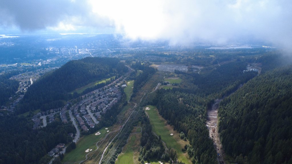
Monitoring urban development impact on natural waterways and wildlife corridors in Coquitlam
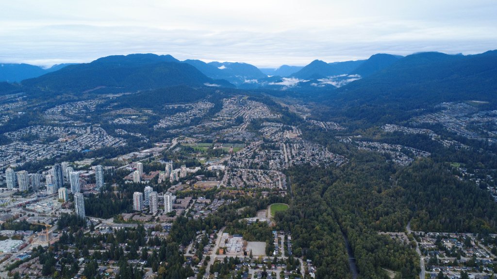
High-altitude drone mapping of reforestation efforts and habitat restoration zones in Coquitlam
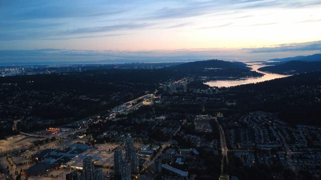
Documenting city infrastructure development to balance growth with environmental preservation in Coquitlam

Picturing infrastructural changes in Coquitlam.
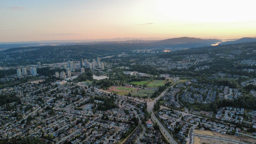
Forest health assessment revealing areas requiring immediate conservation intervention
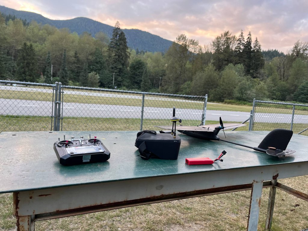
Ground control station coordinating multiple drone flights for comprehensive area coverage
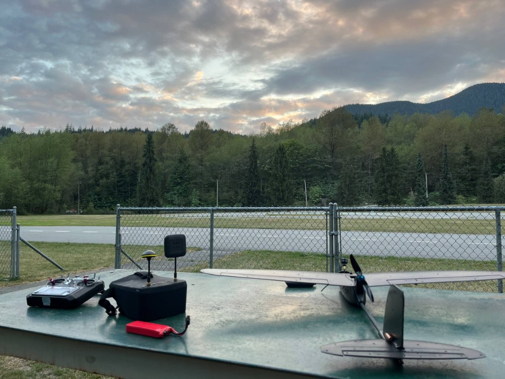
Deploying advanced 1080p drone systems for environmental data collection mission
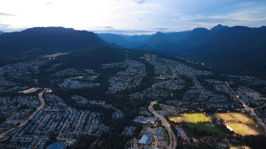
Field team conducting pre-flight checks ensuring mission safety and data quality standards
Drone in Action
Our drone technology enables us to monitor areas of wilderness, detect environmental threats, and respond quickly to conservation emergencies. Each flight is meticulously planned to maximize data collection.
Each mission is carefully planned and executed by our trained team. The high-resolution 1080p imagery captured by our drones provides valuable data for research institutions, conservation organizations, and emergency response teams. We've developed flight patterns and data collection protocols to ensure maximum coverage and accuracy.
The data we collect helps inform conservation organizations and enables faster responses to environmental threats like wildfires, illegal logging, and habitat degradation. As our newest initiative, this program is currently under development with limited capacity as we expand our operations and build partnerships with research institutions.
Drone operations are conducted in full compliance with Canadian aviation regulations.